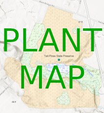
We're pleased to introduce a new online Plant Map for the park. This map breaks down the park into four main habitat types:
- Meadows
- Shrubland - Young Woodland
- Mature Woodland
- Freshwater Wetland
In addition to just showing where these habitats are located, the map provides numerous examples of the types of plants that can be found there. More importantly, it explains why each plant type is there right now. Tall Pines' history as a manicured golf course from the 1950s through 2006 allows visitors to watch ecological succession of plant communities close-up.
The map was produced by Nicole Lloyd as an internship project for the Rutgers Environmental Stewards Program.
You can access the Plant Map below and on our Visiting page.
Here are some tips for using the map on a phone:
- Click the GREEN DOT under the text "Tall Pines State Preserve" on the map.
- The text "Tall Pines State Preserve" will appear at the bottom of the screen. CLICK ON THAT TEXT.
- Click on any of the COLORED AREAS on the map.
- The name of the habitat type will appear at the bottom of the screen. CLICK ON THAT TEXT.
- If you are at the park, press the
 button in the bottom left corner to see which habitat you are in right now!


